On October 24, Professor Gong Peng, Bai Yuqi and Ji Luyan attended the "China Day" at the 14th Plenary Session of the Intergovernmental Group on Earth Observations (GEO) in Washington, DC. People's Daily correspondent in Washington made a special report on the event (http://world.people.com.cn/n1/2017/1025/c1002-29608103-3.html).
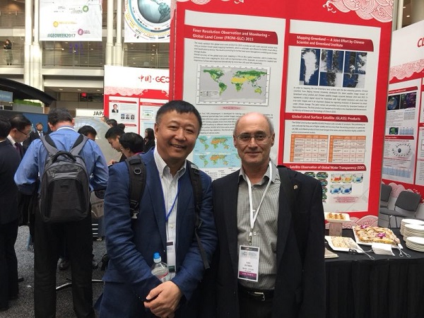
Ms. Barbara Ryan, Executive Director of GEO, discussed with Professor Gong Peng how to promote the achievements of China's latest land cover mapping
In 2015, the global 30-meter surface coverage dataset was an important research result from the Laboratory of Earth Observatories. It was the first time that it was presented on international occasions as the global annual report on ecological environment monitoring 2017. The result is the second generation of high-resolution mapping in the world, with a 12% increase in the overall accuracy of the first-level class, an increase of nearly 20% in the overall accuracy of the second-level class, the use of more than 60,000 scene images and data usage of 33T , Combined with a 4000-core supercomputer, took just 48 hours to complete. The Department of Earth System Science of Tsinghua University took the lead in building the world's highest resolution global land cover mapping and farmland database with better accuracy than other similar products in the world. The completion of this database reflects that China has made new progress in massive remote sensing data processing, development of global mapping software and recognition of global land cover. The database will provide basic data for global and regional model development, biodiversity conservation research, global ecosystem carbon stock distribution and carbon sequestration planning, biomass energy development planning, farmland development and water resources research.
Garik Gutman, NASA Land Use Change Project Leader, in front of 2015 Global 30 Meter Dynamic Surface Coverage Results Board
Director André Obregon, Program Leader, GEO Global Mapping and Biodiversity Project Listen Gong Peng Introducing Latest Mapping Results
GEO is currently the world's largest and most authoritative intergovernmental multilateral cooperative in the field of Earth observation. As a founding member of GEO, one of the member states and co-chairs of the GEO, China has been actively involved in GEO-related work. At the plenary session, Vice Minister Huang Wei of the Ministry of Science and Technology, as GEO China Co-Chair, led a delegation of more than 50 Chinese delegates from 12 departments and a number of related enterprises in the coordination group of China's GEO Working Department. The three other GEO co-chairs of the GEO such as the United States, the European Union and South Africa, the director of the GEO secretariat, all the members of the Executive Committee, and others attended the "China Day".

 Picture News
 Hot News