On September 1, 2024, the Conference “Super Computing Empowers a New Generation of Intelligent Surveying and Mapping” was held in Xi’an to thoroughly implement the major deployment of the construction of digital China, and realize the strategic objectives of the Ministry of Natural Resources, such as accelerating the construction of “smart cities” and the “234” overall framework for the digital governance of natural resources. More than 200 experts and scholars from over 40 universities, enterprises and institutions, such as the Ministry of Natural Resources, Tsinghua University and the Xi’an Geotechnical Investigation & Surveying Institute, convened to discuss the development pathway of a new generation of intelligent surveying and mapping.
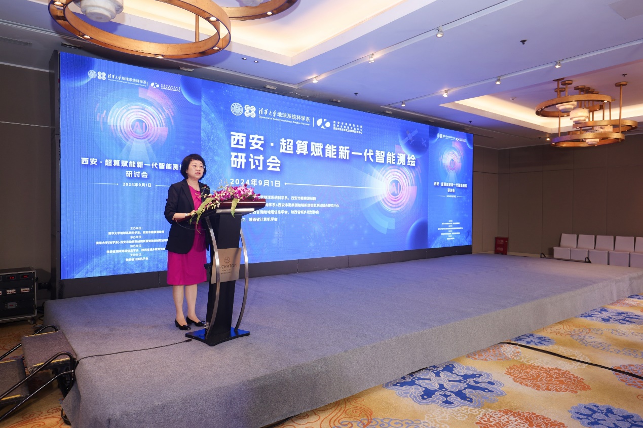
The conference was jointly sponsored by the Department of Earth System Science (DESS) of Tsinghua University and the Xi’an Geotechnical Investigation & Surveying Institute, organized by Tsinghua University (DESS)-New Intelligent Surveying and Mapping Joint Research Center of the Xi’an Geotechnical Investigation & Surveying Institute (hereinafter referred to as Joint Research Center), and supported by the Shaanxi Geographic Information Society, the Shaanxi Urban and Rural Planning Association and the Computer Federation of Shaanxi Province. Attending the conference were Xu Guanhua, academician of the Chinese Academy of Sciences and former Minister of Science and Technology, Tian Wenbiao, chief engineer of the Ministry of Natural Resources, Zhou Xing, director of the Department of Land Surveying and Mapping, Yan Ronghua, second-class inspector of the Department of Land Surveying and Mapping, Chen Jun, academician of the Chinese Academy of Engineering, professor of the National Basic Geographic Information Center, and director of the Moganshan Geo-Information Laboratory, Wang Lizhe, foreign fellow of the European Academy of Sciences, professor and vice president of China University of Geosciences (Wuhan), Wang Zhanhong, deputy director of Shaanxi Surveying and Mapping Geographic Information Bureau, Pu Minghui, deputy director of Shaanxi Natural Resources Department, and Zhang Bo, deputy secretary of the Xi’an People’s Government participated in this conference. The meeting was presided over by Zou Lin, director of Xi’an Resources Planning Bureau.
Xu Guanhua, in his address, affirmed the achievements of the Joint Research Center and placed high hopes on its future development. Zhang Bo noted in his speech that the theme of the conference was in line with the development trend of digitalization and intelligence in the new era and the needs of modernization of urban governance system and governance capacity. Tian Wenbiao spoke highly of the Industry-University-Research cooperation mode of the Joint Research Center, and encouraged it to continue to advance in the fields of intelligent surveying and mapping and 3D real scene construction.
Zou Lin hosts the meeting
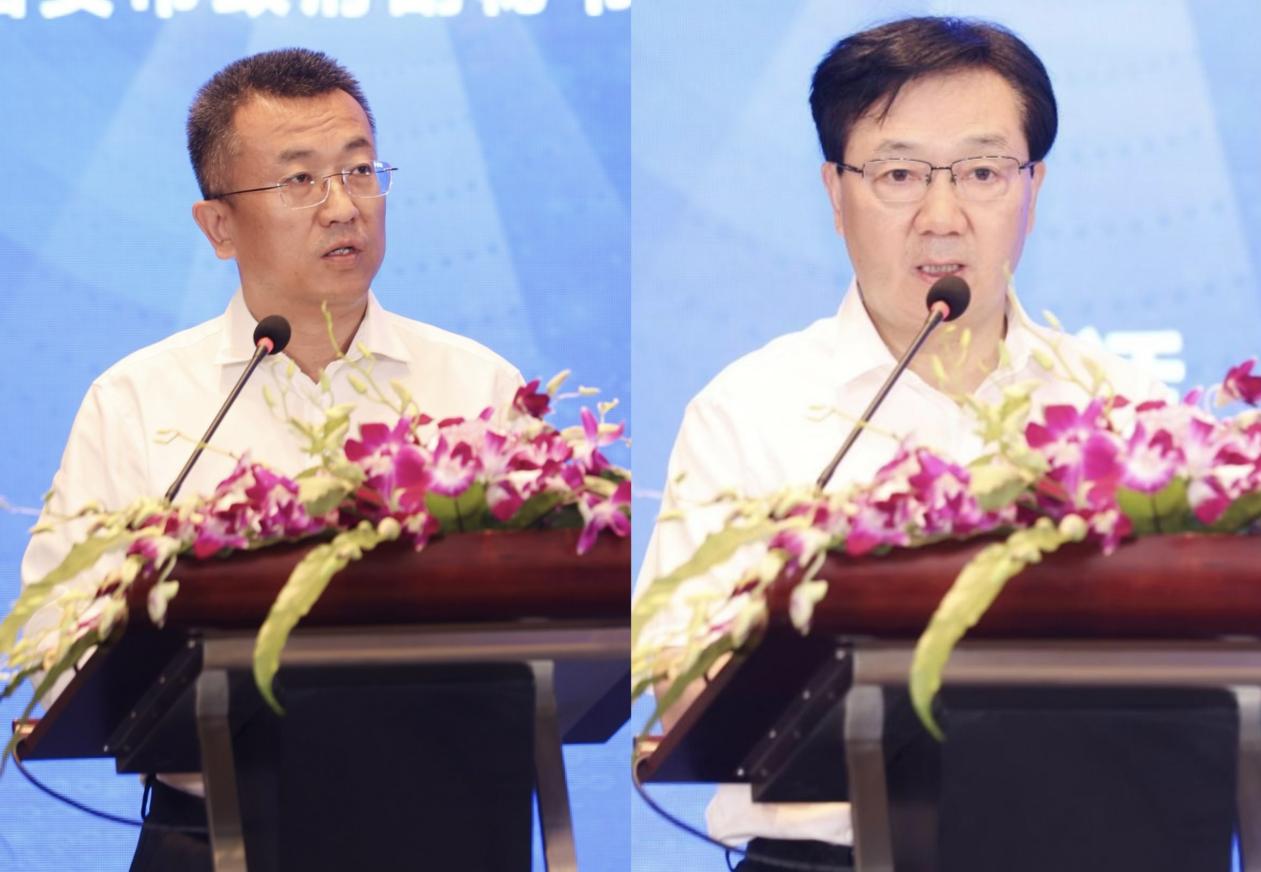
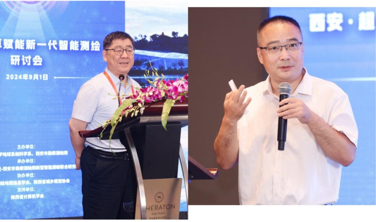
Zhang Bo (left) and Tian Wenbiao (right) address the meeting
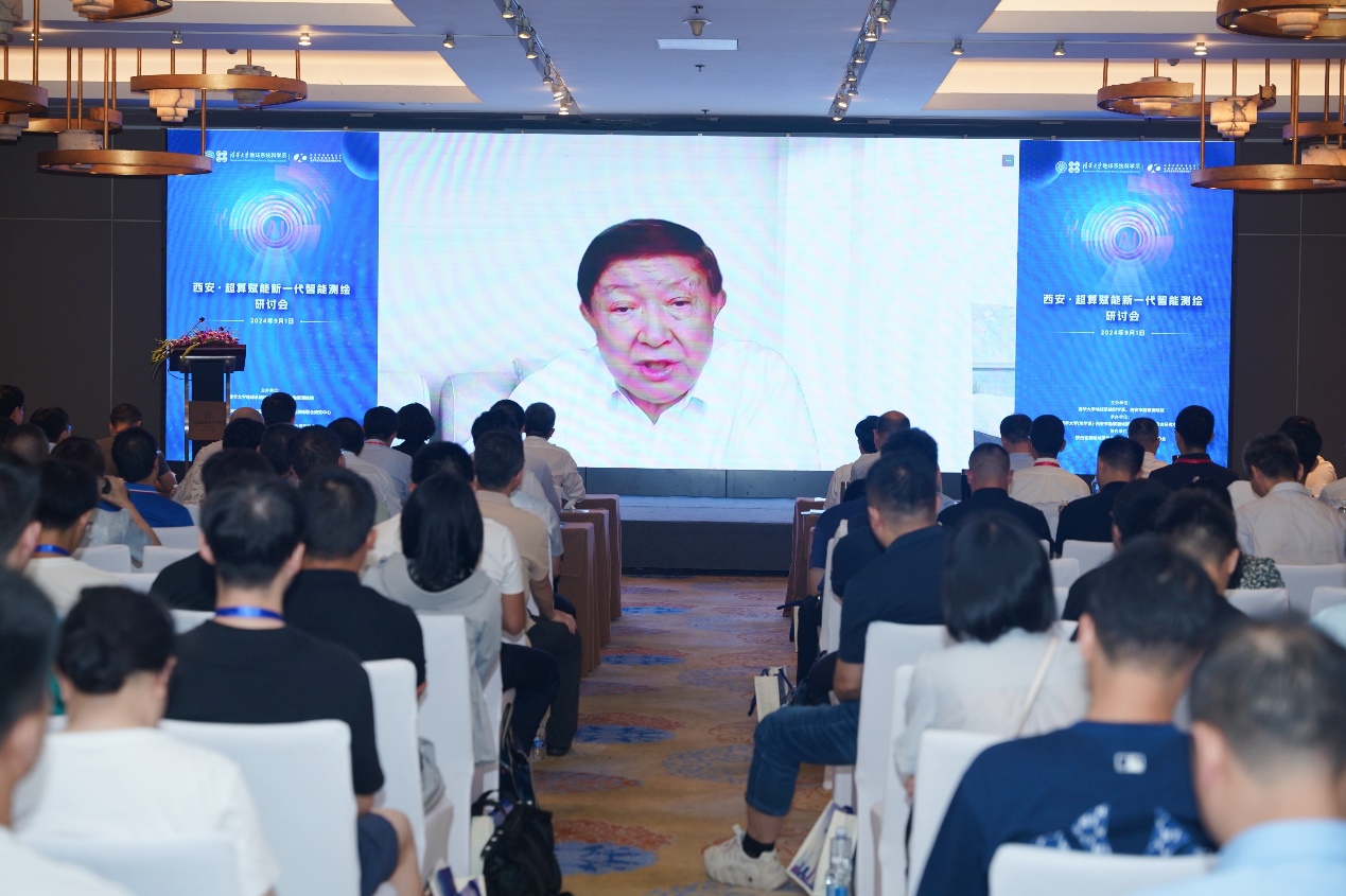
Xu Guanhua, Academician of the Chinese Academy of Sciences and former Minister of Science and Technology, delivers an online speech.
Professor Luo Yong of the Tsinghua University DESS, and Gan Bin, president of the Xi’an Geotechnical Investigation & Surveying Institute, on behalf of the Tsinghua- Xi’an Geotechnical Investigation & Surveying Institute Joint Laboratory, released the highlight achievement: Atlas of Remote Sensing Images of Xi’an Urban Development in Fifty Years (1973-2023). Academician Chen Jun and Professor Wang Lizhe rendered special lectures entitled “Research and Application of Intelligent Surveying and Mapping” and “Remote Sensing Data Processing: Quality, Efficiency, Intelligence and System” respectively. Fu Haohuan, professor of Tsinghua University DESS and director of the Joint Research Center, reported the research results on behalf of the Center.

Luo Yong (right) and Gan Bin (left) release the Atlas of Remote Sensing Images of Xi’an Urban Development in Five Decades (1973-2023).
Chen Jun (left) and Wang Lizhe (right) deliver special lectures.
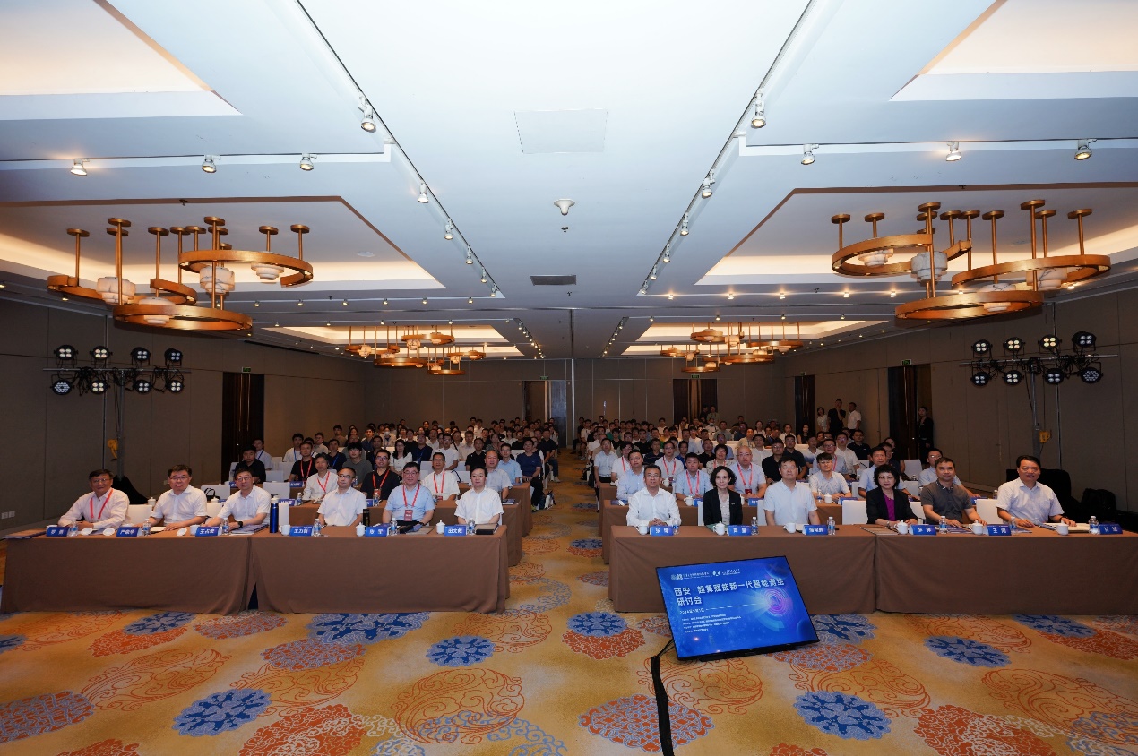
Group photo of participants
The success of this conference, while providing a platform for promoting the deep integration of supercomputing technology and intelligent surveying and mapping as well as multidisciplinary cooperation, also contributed to the realization of the goal of building a digital China and digital governance of natural resources.
Written by Joint Research Center
Edited by Wang Jiayin
Reviewed by Geng Rui

 Picture News
 Hot News