At 12:03 Beijing time on November 11, 2024, the Department of Earth System Science (DESS) at Tsinghua University witnessed a significant milestone as "Tsinghua DESS," the first satellite named after the department, was launched atop the Lijian-1 Y5 carrier rocket. The satellite has successfully reached its designated orbit.
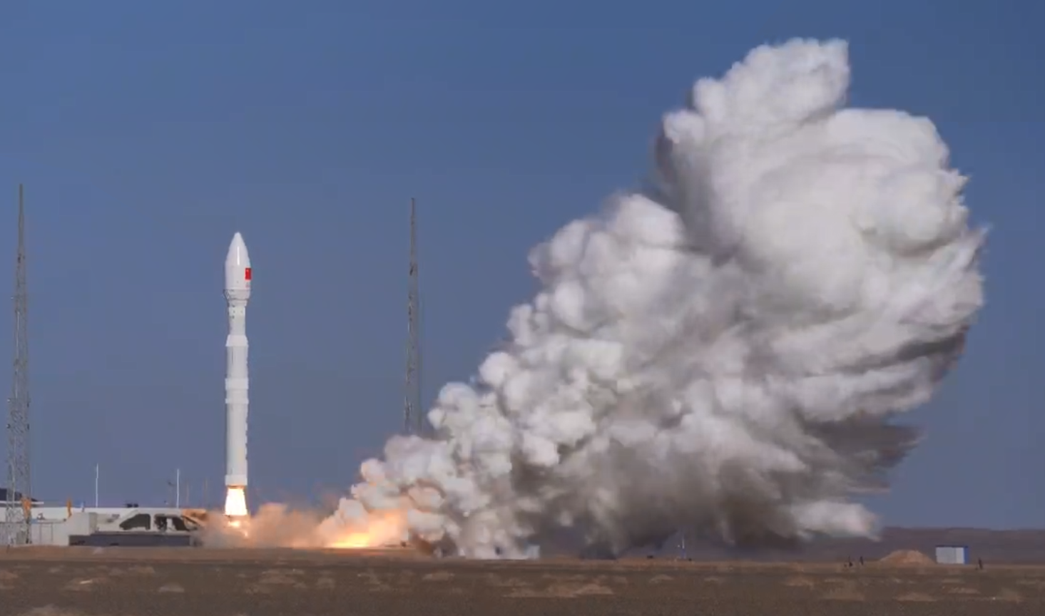
Rocket ignition (source: a video screenshot)
The "Tsinghua DESS" Satellite was developed by a research team headed by Li Fenghui, a postdoctoral researcher in the Tsinghua DESS and the founder of Tianjin Yu nyao Aerospace Science and Technology Co., Ltd. (hereinafter "Yu nyao Aerospace"). The satellite was named after Tsinghua University DESS free of charge. The DESS analyzes global GNSS occultation satellite data and additional observational data offered by YunYao Aerospace, furnishing the latter with wind speed forecast data. This collaboration provides YunYao Aerospace with the technical backbone to undertake wind speed forecasting operations leveraging satellite data.
Professor Luo Yong, Dean of Tsinghua's DESS, elaborated that Earth system science integrates multiple disciplines such as traditional geoscience, ecology, economics, computer science, and technology. It adopts a comprehensive, unified, and global perspective, examining the Earth system's behavior through a systemic lens across various spatio-temporal scales. This holistic approach enables humanity to gain a deeper understanding of our environment and anticipate its future transformations. The launch of the "Tsinghua DESS" satellite marks a commendable effort to forge a partnership with a top-tier project platform, thereby pooling exceptional resources and maximizing interdisciplinary synergies.
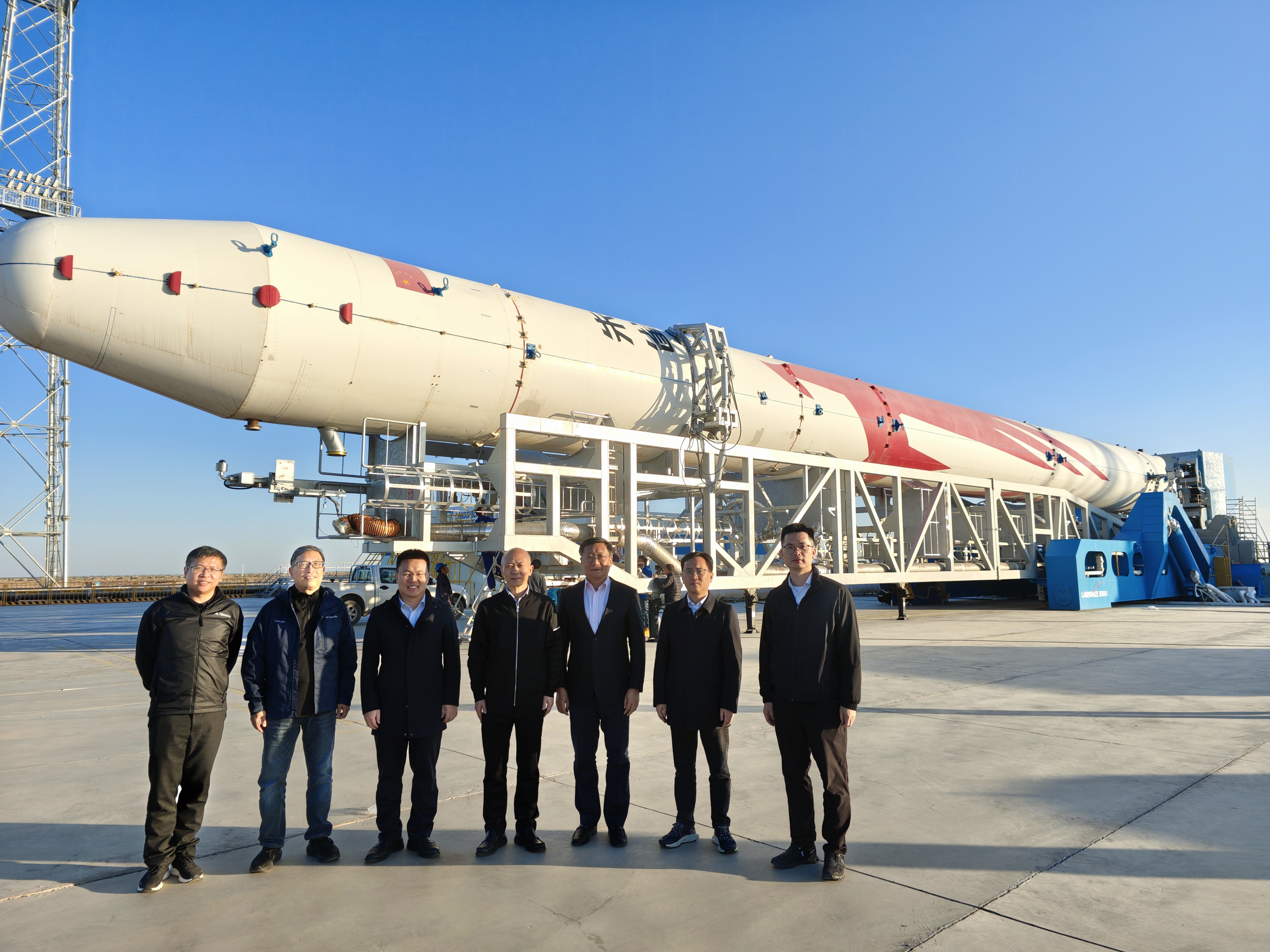
DESS Dean Prof. Luo Yong (third from right) attends the Ignition Ceremony
Addressing the infrastructure construction of meteorological disaster prevention and mitigation in China and the national security requirements, the "Tsinghua DESS” Satellite has been launched as No. 32 satellite of YunYao-1 series in the 90-satellite launch plan of “YunYao Meteorological Constellation", and the core meteorological detection payload is mainly GNSS occultation detection payload, which can obtain the temperature, humidity and pressure of the atmosphere and the electron density information of the ionosphere by inverting the refraction data of GNSS signals.
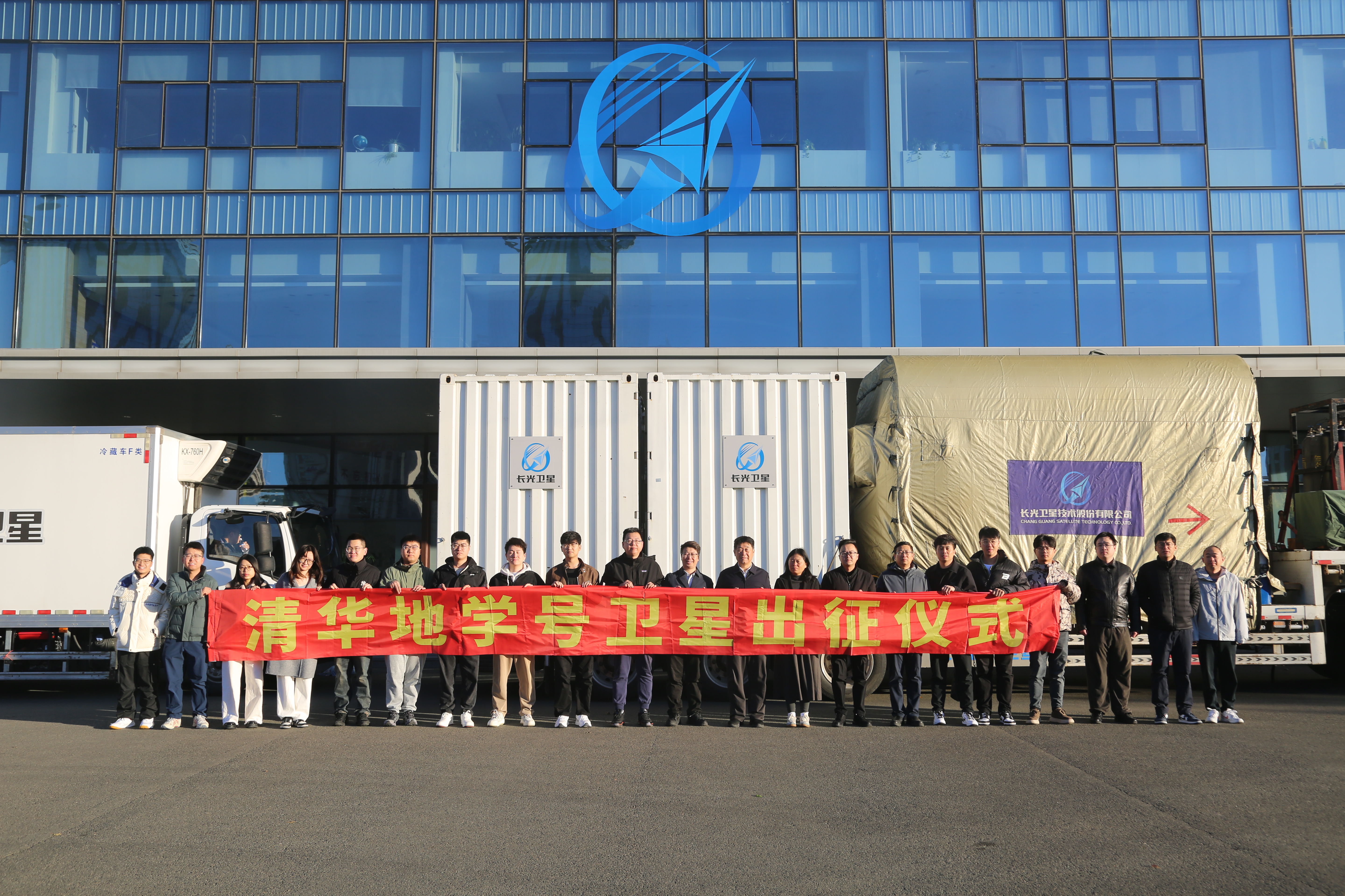
Expedition Ceremony of Tsinghua DESS Satellite
The "YunYao Meteorological Constellation" aims to build a global meteorological constellation with 90 commercial meteorological satellites in orbit, which form a global high-resolution and high-precision full-scale atmospheric and ionospheric detection system, serve the global meteorological forecast and short-term warning of disasters, and provide real-time meteorological forecast information better than 20min for the countries in the "Belt & Road Initiative", thus enhancing China's international influence.
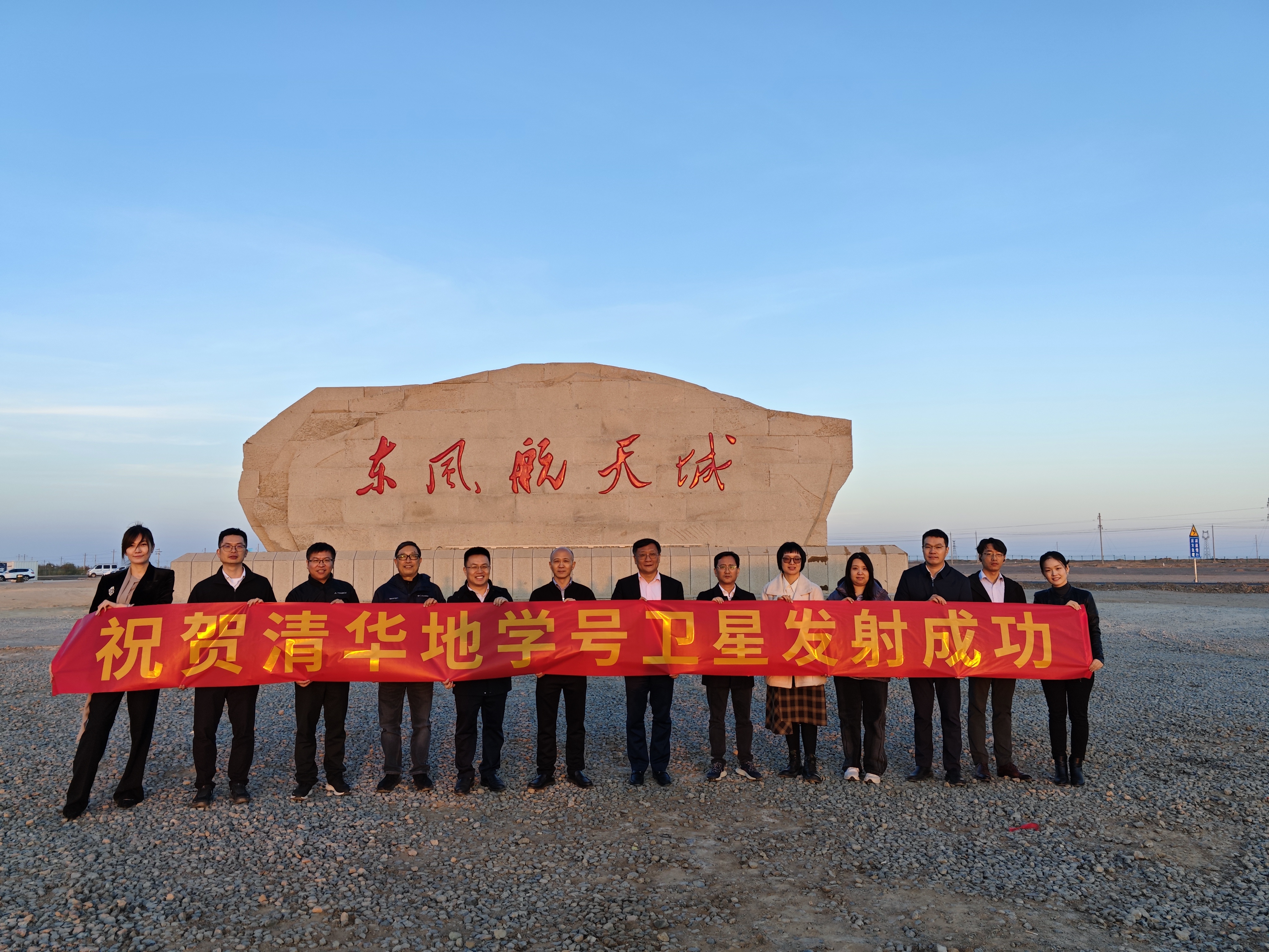
Prof. Luo Yong and some faculty representatives attend the Satellite Launch Ceremony
The launch, operation, and scientific research outcomes of the "Tsinghua DESS" Satellite will not only unveil the mysteries of the Earth but also elevate the public's comprehension and fascination with Earth science by igniting the flame of scientific curiosity, illuminating the avenue to Earth science knowledge for the populace, and inspiring greater societal engagement and support for research on Earth system science.
The "Tsinghua DESS" Satellite has carved an illustrious path across the vast expanse of the cosmos. Let us persist in collaborating and striving together to realize our scientific aspirations and forge a brighter future!
Tianjin YunYao Aerospace Technology Co., Ltd., founded in March 2019 within the Tianjin Port Free Trade Zone, stands as a high-tech enterprise dedicated to the research and development of meteorological satellite payloads, the collection of meteorological data, and the provision of meteorological application services. The company aims to establish a comprehensive service platform that seamlessly integrates "global space meteorological data production" with "space meteorological data application promotion." Leveraging a network of low-orbit satellites, the company acquires global space meteorological data with high spatial-temporal resolution. On one hand, it supplies data to industry users; on the other, it undertakes deep processing of the data, offering tailored and precise service products to meet industry users’ needs.
Coordinated by Yao Songkun
Graphic Typesetting by Wang Jiayin
Reviewed by Luo Yong and Geng Rui

 Picture News
 Hot News