SCI论文:
2020
[121] Cao, B., Yu, L.*, Naipal, V., Ciais, P., Li, W., Zhao, Y., Wei, W., Chen, D., Liu, Z., and Gong, P.: A 30-meter terrace mapping in China using Landsat 8 imagery and digital elevation model based on the Google Earth Engine, Earth System Science Data Discussions, https://doi.org/10.5194/essd-2020-157, in review.
[120] Xu, Y., Ciais, P., Yu, L.*, Li, W.*, Chen, X., Zhang, H., Yue, C., Kanniah, K., Cracknell, A. P., and Gong, P.: Oil palm modelling in the global land-surface model ORCHIDEE-MICT, Geoscientific Model Development Discussions, https://doi.org/10.5194/gmd-2020-252, in review.
[119] Peng, D., Wang, Y., Xian, G., Heute, A.R., Huang, W., Shen, M., Wang, F., Yu, L., Liu, L., Xie, Q., Liu, L., Zhang, X.* Investigation of Land Surface Phenology Detections in Shrublands using Multiple Scale Satellite Data. Remote Sensing of Environment, 252: 112133.
[118] Wang, Y., Peng, D.*, Yu, L.*, Zhang, Y., Yin, J., Zhou, L., Zheng, S., Wang, F., Li, C. Monitoring crop growth during the period of the rapid spread for COVID-19 in China by remote sensing. IEEE Journal of Selected Topics in Applied Earth Observations and Remote Sensing, 13: 6195-6205.
[117] Tu, Y., Chen, B., Yu, L., Xin, Q., Gong, P., Xu, B.* How does urban expansion interact with cropland loss? A comparable study of 14 Chinese cities from 1980 to 2015. Landscape Ecology, 1-12.
[116] Tu, Y., Lang, W., Yu, L., Li, Y., Jiang, J., Qin, Y., Cheng, T., Li, X., Xu, B.* Improved mapping results of 10 m resolution land cover classification in Guangdong, China using multi-source remote sensing data with Google Earth Engine Platform. IEEE Journal of Selected Topics in Applied Earth Observations and Remote Sensing, 13: 5384-5397.
[115] Wang, Y., Peng, D.*, Shen, M., Xu, X., Huang, W., Yu, L., Liu, L., Li, C., Li, X., Zhang, S., Zhang, H. Elevationally contrasting effects of temperature and precipitation on vegetation greenness across the Tibetan Plateau. Remote Sensing, 12(17): 2751.
[114] Si, Y.*, Wei, J., Wu, W., Zhang, W., Yu, L., Wielstra, B. Reducing human pressure on farmland could rescue China’s declining wintering geese. Movement Ecology, 8:35.
[113] Zhang, J., Yu, L., Li, X., Zhang, C., Shi, T., Wu, X., Yang, C., Wu, G., Li, Q.* 2020. Exploring the urban expansion in Guangdong-Hong Kong-Macau Greater Bay Area: Spatiotemporal features and driving forces. Remote Sensing, 12(16): 2615.
[112] Yang, R.*, Cao, Y., Hou, S., Peng, Q., Wang, X., Wang, F., Tz-Hsuan, T., Yu, L., Carver, S., Convery, I., Zhao, Z., Shen, X., Li, S., Zheng, Y., Liu, H., Gong, P.*, Ma, K.* 2020. Cost-effective priorities for the expansion of global terrestrial protected areas: post-2020 global and national targets. Science Advances, 6(37): eabc3436.
[111] Liu, X., Yu, L.*, Dong, Q., Peng, D., Wu, W., Yu, Q., Cheng, Y., Xu, Y., Huang, X., Zhou, Z., Wang, D., Fang, L., Gong, P. 2020. Cropland heterogeneity changes on the Northeast China Plain in the last three decades (1980s–2010s). PeerJ, 8: e9835.
[110] Najib, N., Kanniah, K.*, Cracknell, A., Yu, L. 2020. Synergy of active and passive remote sensing data for effective mapping of oil palm plantation in Malaysia. Forests, 11(8): 858.
[109] Zheng, J., Li, W.*, Wu, W., Zhao, Y., Dong, R., Yu, L., Fu, H. 2020. Cross-regional oil palm tree counting and detection via multi-level attention domain adaptation network. ISPRS Journal of Photogrammetry and Remote Sensing, 167: 154-177.
[108] Zhao, J., Yu, L.*, Xu, Y., Li, X., Zhou, Y., Peng, D., Liu, H., Huang, X., Zhou, Z., Wang, D., Ren, C., Gong, P. 2020. Exploring differences in land surface temperature between the city centers and urban expansion areas of China’s major cities. International Journal of Remote Sensing, 41(23): 8963-8983.
[107] Li, X., Gong, P.*, Zhou, Y., Wang, J., Bai, Y., Chen, B., Hu, T., Xiao, Y., Xu, B., Yang, J., Liu, X., Cai, W., Huang, H., Wu, T., Wang, X., Lin, P., Li, X., Chen, J., He, C., Li, X., Yu, L., Clinton, N., Zhu, Z. 2020. Mapping global urban boundaries from the global artificial impervious area (GAIA) data. Environmental Research Letters, 15(9): 094044.
[106] Dong, R., Li, C., Fu, H.*, Wang, J., Li, W., Yao, Y., Gan, L., Yu, L., Gong. P.* 2020. Improving 3-m resolution land cover mapping through efficient learning from imperfect 10-m resolution map. Remote Sensing, 12(9):1418.
[105] Xu, Y., Yu, L.*, Peng, D., Zhao, J., Cheng, Y., Liu, X., Li, W., Meng, R., Xu, X., Gong, P. 2020. Annual 30 m land use/land cover of China for 1980-2015 from the integration of AVHRR, MODIS and Landsat using the BFAST. Science China Earth Sciences.https://doi.org/10.1007/s11430-019-9606-4.
[104] Xu, Y., Yu, L.*, Li, W., Ciais, P., Cheng, Y., Gong, P. 2020. Annual oil palm plantation maps in Malaysia and Indonesia from 2001 to 2016. Earth System Science Data, 12: 847-867.
[103] Reddy, K.R.O., Zhang, X.*, Bi, L., Zhao, J., Yu, L., Kotalo, R.G. 2020. Carbonaceous aerosol emission reduction over Shandong province and the impact of pollution control as observed from synthetic satellite data. Atmospheric Research, 222: 117150.
[102] Li, W., Dong, R., Fu, H.*, Wang, J., Yu, L., Gong, P.* 2020. Integrating Google Earth imagery with Landsat data to improve 30-m resolution land cover mapping. Remote Sensing of Environment, 237, 111563.
[101] Ni, S., Huang, X.*, Gan, W., Zorn, C., Xiao, Y., Huang, G., Yu, C.*, Cao, J., Zhang, J., Feng, Z., Yu, L., Lin, G., Silvennoinen, H. 2020. Coupled modelling and sampling approaches to assess the impacts of human water management on land-sea carbon transfer. Science of the Total Environment, 701: 124735.
[100] Nie, Y., Chang, S., Cai, W.*, Wang, C., Fu, J., Hui, J., Yu, L., Zhu, W., Huang, G., Kumar, A., Guo, W., Ding, Q. 2020. Spatial distribution of usable biomass feedstock and technical bioenergy potential in China. Global Change Biology – Bioenergy, 12: 54-70.
[99] Dong, R., Li, W.*, Fu, H., Gan, L., Yu, L., Zheng, J., Xia, M. 2020. Oil palm plantation mapping from high-resolution remote sensing images using deep learning. International Journal of Remote Sensing, 41(5): 2022-2046.
2019
[98] Liu, X., Pei, F., Wen, Y., Li, X., Wang, S., Wu, C., Cai, Y., Wu, J., Chen, J., Feng, K., Liu, J., Hubacek, K., Davis, S., Yuan, W., Yu, L., Liu, Z. 2019. Global urban expansion offsets climate-driven increases in terrestrial net primary productivity. Nature Communications, 10, 5558.
[97] Peng, D., Zhang, H., Liu, L., Huang, W., Huete, A.R., Zhang, X., Wang, F., Yu, L., Wang, C., Luo, S., Xu, F., Li, C., Yan, K., Zhang, B.* 2019. Estimating the aboveground biomass for planted forest based on stand age and environmental variables. Remote Sensing,11(19): 2270.
[96] Jiang, L., Yu, L.* 2019. Analyzing land use intensity changes within and outside protected areas using ESA CCI-LC datasets. Global Ecology and Conservation, 20: e00789.
[95] Hao, P., Tang, H.*, Chen, Z., Yu, L., Wu, M. 2019. High resolution crop intensity mapping using harmonized Landsat-8 and Sentinel-2 data. Journal of Integrative Agriculture, 18(12): 2883-2897.
[94] Kanniah, K.*, Cracknell, A., Yu, L. 2019. Preface, International Journal of Remote Sensing. 40(19): 7287-7296.
[93] Zeng, T., Wang, L.*, Zhang, Z., Wen, Q., Wang, X., Yu, L. 2019. An Integrated Land Cover Mapping Method Suitable for Low-Accuracy Areas in Global Land Cover Maps. Remote Sensing, 11(15): 1777.
[92] Xu, Y., Yu, L.*, Cai, Z., Zhao, J., Peng, D.*, Li, C., Lu, H., Yu, C., Gong, P. 2019. Exploring intra-annual variation in cropland classification accuracy using monthly, seasonal and yearly sample set. International Journal of Remote Sensing, 40(23): 8748-8763.
[91] Li, W., He, C., Fu, H.*, Zheng, J., Dong, R., Xia, M., Yu, L., Luk, W. 2019. A real-time tree crown detection approach for large-scale remote sensing images on FPGAs. Remote Sensing, 11(9): 1025.
[90] Zhao, Y., Feng, D., Yu, L.*, Cheng, Y., Zhang, M., Liu, X., Xu, Y., Fang, L., Zhu, Z., Gong, P. 2019. Long-term land cover dynamics (1986-2016) of Northeast China derived from multi-temporal Landsat archive. Remote Sensing, 11(5): 599.
[89] Gong, P., Liu, H., Zhang, M., Li, C., Wang, J., Huang, H., Clinton, N., Ji, L., Li, W., Bai, Y., Chen, B., Xu, B., Zhu, Z., Yuan, C., Sun, K., Guo, J., Xu, N., Li, W., Zhao, Y., Yang, J., Yu, C., Wang, X., Fu, H., Yu, L., Dronova, I., Hui, F., Cheng, X., Shi, X., Xiao, F., Liu, Q., Song, L. 2019. Stable classification with limited sample: transferring a 30-m resolution sample set collected in 2015 to mapping 10-m resolution global land cover in 2017. Science Bulletin, 64(6): 370-373.
[88] Xu, Y., Yu, L.*, Feng, D., Peng, D.*, Li, C., Huang, X., Lu, H., Gong, P. Comparisons of three recent moderate resolution African land cover datasets: CGLS-LC100, ESA-S2-LC20, and FROM-GLC-Africa30. International Journal of Remote Sensing, 40(16): 6185-6202.
[87] Li, W., He, C., Fang, J., Zheng, J., Fu, H., Yu, L. 2019. Semantic segmentation-based building footprint extraction using high-resolution satellite images and multi-source GIS data. Remote Sensing, 11(4): 403.
[86] Yan, D., Li, C., Cong, N., Yu, L., Gong, P. 2019. A structured approach to the analysis of remote sensing images. International Journal of Remote Sensing, 40(20): 7874-7897.
[85] Cheng, Y., Yu L.*, Xu, Y., Lu, H., Cracknell, A.P., Kanniah, K., Gong, P. 2019. Mapping oil palm plantation expansion in Malaysia over the past decade (2007–2016) using ALOS-1/2 PALSAR-1/2 data. International Journal of Remote Sensing, 40(19): 7389-7408.
[84] Yu, C., Huang, X., Chen, H., Godfray, C., Wright, J., Hall, J., Gong, P., Ni, S., Qiao, S., Huang, G., Xiao, Y., Zhang, J., Feng, Z., Ju, X., Ciais, P., Stenseth, N.C., Hessen, D.O., Sun, Z., Yu, L., Cai, W., Fu, H., Huang, X., Liu, H., Taylor, J. 2019. Managing nitrogen to restore water quality in China, Nature. 567(7749): 516-520.
[83] Zhao, J., Yu, L.*, Xu, Y., Ren, H., Huang, X. Gong, P. 2019. Exploring the addition of Landsat 8 thermal bands in land cover mapping. International Journal of Remote Sensing, 40(12): 4544-4559.
[82] Nie, Y., Cai, W., Wang, C., Huang, G., Ding, Q., Yu, L., Li, H., Ji, D. 2019. Assessment of the potential and distribution of an energy crop at 1-km resolution from 2010 to 2100 in China — the case of sweet sorghum. Applied Energy, 239: 395-407.
[81] Wang, H., Liu, X., Zhang, X., Wang, P., Lin, H., Yu, L.* 2019. Spatiotemporal crop NDVI responses to climatic factors in mainland China. International Journal of Remote Sensing. 40(1): 89-103.
[80] Li, W., Dong, R., Fu, H.*, Yu L.* 2019. Large-Scale Oil Palm Tree Detection from High-Resolution Satellite Images Using Two-Stage Convolutional Neural Networks, Remote Sensing, 11(1):11.
[79] Schumann, G., Benegal, V., Yu, C., Tao, S., Jernigan, T., Heinz, A., Araya, R., Yu, L., Calhoun, V., GIGA consortium. 2019. Precision medicine and global mental health, Lancet Global Health, 7(1): e32. Correspondence.
[78] Vasuki, Y., Yu, L., Holden, E.-J., Kovesi, P., Wedge, D., Grigg, A. The spatial-temporal patterns of land cover changes due to mining activities in Darling Range, Western Australia: A visual analytics approach. Ore Geology Reviews, 2019, 108: 23-32.
[77] Liu, X., Yu, L.*, Zhong, L., Wu, B., Wang, H., Yu, C., Gong, P. 2019. Spatial-temporal patterns of features selected using random forests: a case study of corn and soybeans mapping in the US. International Journal of Remote Sensing, 40(1): 269-283.
2018
[76] Xu, Y., Yu, L.*, Zhao, F., Cai, X., Lu, H., Gong, P. 2018. Tracking annual cropland changes from 1984 to 2016 using time-series Landsat images with a change-detection and post-classification approach: experiments from three sites in Africa. Remote Sensing of Environment, 218, 13-31.
[75] Liu, X., Yu, L.*, Si, Y., Zhang, C., Lu, H., Yu, C., Gong, P. 2018. Identifying patterns and hotspots of global land cover transitions using the ESA CCI Land Cover dataset. Remote Sensing Letters, 9(10): 972-981.
[74] Hao, P., Tang, H., Chen, Z., Yu, L., Wu, M. 2018. A sampling workflow based on unsupervised clusters and multi-temporal sample interpretation (UCMT) for cropland mapping. Remote Sensing Letters, 9(10): 952-961.
[73] Yu, L.*, Xu, Y., Xue, Y., Li, X., Cheng, Y., Liu, X., Porwal, A., Holden, EJ., Yang, J., Gong, P. 2018. Monitoring surface mining belts using multiple remote sensing datasets: A global perspective. Ore Geology Reviews, 101: 675-687.
[72] Cheng, Y., Yu, L.*, Xu, Y., Liu, X., Lu, H., Cracknell, A.P., Kanniah, K., Gong, P. 2018. Towards global oil palm plantation mapping using remote-sensing data. International Journal of Remote Sensing, 39(18): 5891:5906.
[71] Peng, D., Zhang, H., Yu, L.*, Wu, M.*, Wang, F., Huang, W., Liu, L., Sun, R., Li, C., Wang, D., Xu, F. 2018. Assessing spectral indices to estimate the fraction of photosynthetically active radiation absorbed by the vegetation canopy. International Journal of Remote Sensing, 39(22): 8022-8040.
[70] Xu, Y., Yu, L.*, Peng, D.*, Cai, X., Cheng, Y., Zhao, J., Zhao, Y., Feng, D., Hackman, K., Huang, X., Lu, H., Yu, C., Gong, P. 2018. Exploring the temporal density of Landsat observations for cropland mapping: experiments from Egypt, Ethiopia and South Africa. International Journal of Remote Sensing, 39(21): 7328-7349.
[69] Yu, C., Huang, X., Chen, H., Huang, G., Ni, S., Wright, J.S., Hall, J., Ciais, P., Zhang, J., Sun, Z., Wang, X., Yu, L. 2018. Assessing the impacts of extreme agricultural droughts in China under climate and socioeconomic changes. Earth’s Future, 6(5): 689-703.
[68] Liu, X., Yu, L.*, Li, W., Peng, D., Zhong, L., Li, L., Xin, Q., Lu, H., Yu, C., Gong, P. 2018. Comparison of country-level cropland areas between ESA-CCI land cover maps and FAOSTAT data, International Journal of Remote Sensing, 39(20): 6631-6645.
[67] Li, C., Lu, H.*, Yang, K., Han, M., Wright, J.S., Chen, Y., Yu, L., Xu, X., Huang, X., Gong, W. 2018. The evaluation of SMAP enhanced soil moisture products using high-resolution model simulations and in-situ observations on the Tibetan Plateau. Remote Sensing, 10(4): 535.
[66] Peng, D., Wu, C.*, Zhang, X., Yu, L.*, Huete, A., Wang, F. Luo, S., Liu, X., Zhang, H. 2018. Scaling up spring phenology derived from remote sensing images. Agricultural and Forest Meteorology, 256-257, 207-219.
[65] Yu, L.*, Liu, X., Zhao, Y., Yu, C., Gong, P. 2018. Difficult to map regions in 30 m global land cover mapping determined with a common validation dataset. International Journal of Remote Sensing, 39(12): 4077-4087.
[64] Lyu, H., Lu, H.*, Mou, L., Li, W., Li, X., Zhu, X., Wang, J., Yu, L., Gong, P. 2018. Long-term annual mapping of four cities on different continents by applying a deep information learning method to Landsat data. Remote Sensing, 10(3): 471.
[63] Feng, D., Yu, L.*, Zhao, Y., Cheng, Y., Xu, Y., Li, C., Gong, P. 2018. A multiple dataset approach for 30-m resolution land cover mapping: a case study of continental Africa. International Journal of Remote Sensing, 39(12): 3926-3938.
[62] Zhang, W., Li, X., Yu, L., Si, Y.* 2018. Multi-scale habitat selection of two declining East Asian waterfowl species at the core stopover area. Ecological Indicators, 87: 127-135.
[61] Li, X., Lu, H.*, Yu, L., Yang, K. 2018. Comparison of the spatial characteristics of four remotely sensed leaf area index products over China: direct validation and relative uncertainties. Remote Sensing, 10(1): 148.
[60] Cheng, Y., Yu L.*, Xu, Y., Hui, L., Cracknell, A.P., Kanniah, K., Gong, P. 2018. Mapping oil palm extent in Malaysia using ALOS-PALSAR data. International Journal of Remote Sensing, 39(2): 432-452.
[59] Xue, Y., Yang, Y., Yu, L. 2018. Mineral composition of the Martian Gale and Nili Fossae regions from Mars Reconnaissance Orbiter CRISM images. Planetary and Space Science, 2018: 97-105.
2017
[58] Huang, C., Yang, J.*, Lu, H., Huang, H., Yu, L. 2017. Green Spaces as an Indicator of Urban Health: Evaluating Its Changes in 28 Mega-Cities. Remote Sensing, 9(12): 1232.
[57] Li, L., Zhao, Y.*, Fu, Y., Pan, Y., Yu, L., Xin, Q.* High Resolution Mapping of Cropping Cycles by Fusion of Landsat and MODIS Data. Remote Sensing.
[56] Cui, D., Tian, F.*, Wang, Y., Li, C., Yu, C., Yu, L. 2017. On the growth and detectability of land plants on habitable planets around M Dwarfs. Astrobiology, 17(12): 1219-1232.
[55] Zhao, Y., Feng, D., Yu, L., See, L., Fritz, S., Perger, C., Gong, P.*, 2017. Assessing and Improving the Reliability of Volunteered Land Cover Reference Data. Remote Sensing, 9, 1034.
[54] Li, W., Fu, H.*, You, Y., Yu, L., Fang, J., 2017. Parallel Multiclass Support Vector Machine for Remote Sensing Data Classification on Multicore and Many-Core Architectures. IEEE Journal of Selected Topics in Applied Earth Observations and Remote Sensing, 10(10): 4387-4398.
[53] Li, C., Lu, H.*, Yang, K., Wright, J. S., Yu, L., Chen, Y., Huang, X., Xu, S., 2017. Evaluation of the Common Land Model (CoLM) from the Perspective of Water and Energy Budget Simulation: Towards Inclusion in CMIP6. Atmosphere, 8, 141.
[52] Li, X., Lu, H.*, Zhou, Y., Hu, T., Liang, L., Liu, X., Hu, G., Yu, L. 2017. Exploring the performance of spatio-temporal assimilation in an urban cellular automata model. International Journal of Geographical Information Science, 31, 2195-2215.
[51] Li, X., Gong, P.*, Yu, L., Hu, T., 2017. A segment derived patch-based logistic cellular automata for urban growth modeling with heuristic rules. Computers Environment and Urban Systems, 65, 140-149.
[50] Ren, H.*, Liu, R., Qin, Q., Fan, W., Yu, L., Du, C., 2017. Mapping finer-resolution land surface emissivity using Landsat images in China. Journal of Geophysical Research-Atmospheres, 122, 6764-6781.
[49] Huang, X., Huang, G., Yu, C.*, Ni, S., Yu, L., 2017. A multiple crop model ensemble for improving broad-scale yield prediction using Bayesian model averaging. Field Crops Research, 211, 114-124.
[48] Xu, Y., Yu, L.*, Zhao, Y., Feng, D., Cheng, Y., Cai, X., Gong, P. 2017. Monitoring cropland changes along the Nile River in Egypt over past three decades (1984-2015) using remote sensing. International Journal of Remote Sensing, 38(15): 4459-4480.
[47] Liu, X. Yu, L.*, Wang, H., Zhong, L., Lu, H., Yu, C., Gong, P. 2017. Exploring the correlations between ten monthly climatic variables and the vegetation index of four different crop types at the global scale. Remote Sensing Letters, 8(8): 752-760.
[46] Cheng, Y., Yu L.*, Zhao, Y., Xu, Y., Hackman, K., Cracknell, A.P., Gong, P. 2017. Towards a global oil palm sample database: design and implications. International Journal of Remote Sensing, 38(14): 4022-4032.
[45] Li, C., Gong, P.*, Wang, J., Zhu, Z., Biging, G.S., Yuan, C., Hu, T., Zhang, H., Wang, Q., Li, X., Liu, X., Xu, Y., Guo, J., Liu, C., Heckman, K., Zhang, M., Cheng, Y., Yu, L., Yang, J., Huang, H., Clinton, N. 2017. The first all-season sample set for mapping global land cover with Landsat-8 data. Science Bulletin, 62(7): 508-515.
[44] Chen, X., Lin, Y., Zhang, M., Yu, L., Li, H., Bai, Y.* 2017. Assessment of the Cropland Classifications in four global land cover datasets: A case study of Shaanxi Province, China. Journal of Integrative Agriculture, 16(2): 298-311.
[43] Yu, L.*, Li, X., Li, C., Zhao, Y., Niu, Z., Huang, H., Wang, J., Cheng, Y., Lu, H., Si, Y., Yu, C., Fu, H., Gong, P. 2017. Using a global reference sample set and a cropland map for area estimation in China. Science China Earth Science, 60(2): 277-285.
[42] Li, W., Fu, H.*, Yu, L., Cracknell, A. 2017. A Deep learning based oil palm tree detection and counting for high-resolution remote sensing images. Remote Sensing, 9(1): 22.
2016
[41] Zhong, L., Yu, L.*, Li, X., Hu, L., Gong, P. 2016. Rapid corn and soybean mapping in US Corn Belt and neighboring areas. Scientific Reports, 6: 36240.
[40] Zhao, F.R., Meng, R., Huang, C., Zhao, M., Zhao, F.A., Gong, P., Yu, L., Zhu, Z. 2016. Long-term post-disturbance forest recovery in the Greater Yellowstone ecosystem analyzed using Landsat time series stack. Remote Sensing, 8(11): 898.
[39] Yu, L., Fu, H., Wu, B., Clinton, N., Gong, P. 2016. Exploring the potential role of feature selection in global land cover mapping. International Journal of Remote Sensing, 37(23): 5491-5504.
[38] Li, W., Fu, H.*, Yu, L., Gong, P., Feng, D., Li, C., Clinton, N. 2016. Stacked Autoencoder-based deep learning for remote-sensing image classification: a case study of African land-cover mapping. International Journal of Remote Sensing, 37(23): 5632-5646.
[37] Cheng, Y., Yu, L.*, Cracknell, A., Gong, P. 2016. Oil palm mapping using Landsat and PALSAR: a case study in Malaysia. International Journal of Remote Sensing, 37(22): 5431-5442.
[36] Wu, B.*, Fang, H., Yu, L., Zhang, Q. 2016. A fully automatic method to extract rear earth area mining area from Landsat image. Photogrammetric Engineering & Remote Sensing, 82(9): 729-737.
[35] Li, X., Yu, L.*, Xu, Y., Yang, J., Gong, P. 2016. Ten years after Hurricane Katrina: monitoring recovery in New Orleans and the surrounding areas using remote sensing. Science Bulletin, 61(18): 1490-1470.
[34] Feng, D., Zhao, Y., Yu, L., Li, C., Wang, J., Clinton, N., Belward, A., Zhu, Z., Gong, P.* 2016. Circa 2014 African land-cover maps compatible with FROM-GLC and GLC2000 classification schemes based on multi-seasonal Landsat data. International Journal of Remote Sensing, 37(19): 4648-4664.
[33] Li, C., Gong, P.*, Wang, J., Yuan, C., Hu, T., Wang, Q., Yu, L., Clinton, N., Li, M., Guo, J., Feng, D., Huang, C., Zhan, Z., Wang, X., Xu, B., Nie, Y., Hackman, K. 2016. An all-season database for improving land-cover mapping of Africa with two classification schemes. International Journal of Remote Sensing, 37(19): 4623-4647.
[32] Li, X., Yu, L.*, Sohl, T., Li, W., Zhu, Z., Liu, X., Clinton, N., Gong, P. 2016. A cellular automata downscaling based 1 km global land use datasets (2010-2100). Science Bulletin, 61(21): 1665-1661.
[31] Shi, X.*, Nie, S., Ju, W., Yu, L. 2016. Climate effects of the GlobeLand30 land cover dataset on the Beijing Climate Center climate model simulations. Science China Earth Sciences, 59(9): 1754-1794.
[30] Zhong, L.*, Hu, L., Yu, L., Gong, P., Biging, G.S. 2016. Automated mapping of soybean and corn using phenology. ISPRS Journal of Photogrammetry and Remote Sensing, 119: 151-164.
[29] Zhao, Y., Feng, D., Yu, L., Wang, X., Chen, Y., Jaime, Mauricio, Christian, Biging, G.S., Radke, J.D., Gong, P.* 2016. Detailed dynamic land cover mapping of Chile: accuracy improvement by integrating multi-seasonal land cover data. Remote Sensing of Environment, 183: 170-185.
2015
[28] Zhang, H., Huang, B.*, Zhang, M., Cai, K., Yu, L. 2015. A generalization of spatial and temporal fusion methods for remotely sensed surface parameters. International Journal of Remote Sensing, 36(17): 4411-4445.
[27] Yu, L., Shi, Y., Gong, P.* 2015. Land cover mapping and data availability in critical terrestrial ecoregions: a global perspective. Biological Conservation, 190: 34-42.
[26] Clinton, N., Yu, L., Gong, P.* 2015. Geographic stacking: a method to increase global map accuracy. ISPRS Journal of Photogrammetry and Remote Sensing, 103: 57-65.
[25] Xin, Q., Broich, M., Suyker, A. E., Yu, L., Gong, P.* 2015. Multi-scale evaluation of light use efficiency in MODIS gross primary productivity for croplands in the Midwestern United States. Agricultural and Forest Meteorology, 201: 111-119.
[24] Wang, J., Zhao, Y., Li, C., Yu, L., Liu, D., Gong, P.* 2014. Mapping global land cover in 2001 and 2010 with spatial-temporal consistency at 250 m resolution. ISPRS Journal of Photogrammetry and Remote Sensing, 103: 38-47.
2014
[23] Cao, K.*, Zhang, H., Chen, J., Zhang, W., Yu, L.* 2014. Variational Model based Very High Spatial Resolution Remote Sensing Image Fusion. Journal of Applied Remote Sensing. 8(1): 083565.
[22] Clinton, N.*, Yu, L., Fu, H., He, C., Gong, P. 2014. Global-scale associations of vegetation phenology with rainfall and temperature at high spatio-temporal resolution. Remote Sensing, 6(8), 7320-7338.
[21] Yu, L., Wang, J., Li, X., Li, C., Gong, P.* 2014. A multi-resolution global land cover dataset through multisource data aggregation. Science China Earth Sciences, 57(10): 2317-2329.
[20] Zhao, Y., Gong, P.*, Yu, L., Hu, L., Li, X., Li, C., Zhang, H., Zheng, Y., Wang, J., Zhao, Y., Cheng, Q., Liu, C., Liu, S., Wang, X. 2014. A common validation sample set for global land cover mapping. International Journal of Remote Sensing, 35(13): 4795-4814.
[19] Hu, L., Chen, Y., Xu, Y., Zhao, Y., Yu, L., Wang, J., Gong, P.* 2014. 30 meter land cover mapping of China with an efficient clustering algorithm CBEST, Science China Earth Sciences, 57(10): 2293-2304.
[18] Yu, L., Liang, L., Wang, J., Zhao, Y., Cheng, Q., Hu, L., Liu, S., Yu, L., Wang, X., Zhu, P., Li, X., Xu, Y., Li, C., Fu, W., Li, X., Li, W., Liu, C., Cong, N., Zhang, H., Sun, F., Bi, X., Xin, Q., Li, D., Yan, D., Zhu, Z., Goodchild, M.F., Gong, P.* 2014. Meta-discoveries from a synthesis of satellite-based land cover mapping research. International Journal of Remote Sensing, 35(13): 4573-4588.
[17] Li, C., Wang, J., Hu, L., Yu, L., Clinton, N., Huang, H., Yang, J., Gong, P.* 2014. A circa 2010 thirty-meter resolution forest map for China. Remote Sensing, 6(6), 5325-5343.
[16] Li, X., Liu, X.*, Yu, L. 2014. A systematic sensitivity analysis of constraint cellular automata model for urban growth simulation based on different transition rules. International Journal of Geographical Information Science, 28 (7), 1317-1335.
[15] Li, X., Liu, X.*, Yu, L. 2014. Aggregative model-based classifier ensemble for classifying remotely sensed images. International Journal of Remote Sensing. 35 (4): 1481-1495.
[14] Zhang, H., Huang, B.*, Yu, L. 2014. Intermodality models in pan-sharpening: analysis based on remote sensing physics. International Journal of Remote Sensing, 35 (2), 515-531.
2013
[13] Xin, Q., Gong, P.*, Yu, C., Yu, L., Broich, M., Suyker, A., Myneni, R. 2013. A Production Efficiency Model-Based Method for Satellite Estimates of Corn and Soybean Yields in the Midwestern US. Remote Sensing. 5(11): 5926-5943.
[12] Yu, L., Wang, J., Clinton, N., Xin, Q., Zhong, L., Chen, Y., Gong, P.* 2013. FROM-GC: 30m global cropland extent derived through multi-source data integration. International Journal of Digital Earth. 6(6): 521-533.
[11] Yu, L., Wang, J., Gong, P.* 2013. Improving 30 meter global land cover map FROM-GLC with time series MODIS and auxiliary datasets: a segmentation based approach, International Journal of Remote Sensing. 34(16): 5851-5867.
[10] Gong, P.*, Wang, J., Yu, L., Zhao, Y., Zhao, Y., Liang, L., Niu, Z., Huang, X., Fu, H., Liu, S., Li, C., Li, X., Fu, W., Liu, C., Xu, Y., Wang, X., Cheng, Q., Hu, L., Yao, W., Zhang, H., Zhu, P., Zhao, Z., Zhang, H., Zheng, Y., Ji, L., Zhang, Y., Chen, H., Yan, A., Guo, J., Yu, L., Wang, L., Liu, X., Shi, T., Zhu, M., Chen, Y., Yang, G., Tang, P., Xu, B., Ciri, C., Clinton, N., Zhu, Z., Chen, J., Chen, J. 2013. Finer resolution observation and monitoring of global land cover: first mapping results with Landsat TM and ETM+ data, International Journal of Remote Sensing. 34(7): 2607-2654.
2012
[9] Yu, L.*, Porwal, A., Holden, E-J., Dentith, C.M. 2012. Towards automatic lithological classification from remote sensing data using support vector. Computers & Geosciences, 45:229-239.
[8] Yu, L., Gong, P.* 2012. Google Earth as a virtual globe tool for earth science applications at global scale: progress and perspectives. International Journal of Remote Sensing, 33(12): 3966-3986.
[7] Yu, L.*, Holden, E-J., Dentith, M.C., Zhang, H. 2012. Towards the automatic selection of optimal seam line locations when merging optical remote sensing images. International Journal of Remote Sensing, 33(4): 1000-1014.
[6] Hunag, B.*, Zhang, H., Yu, L. 2012. Improving Landsat ETM+ Urban Area Mapping via Spatial and Angular Fusion With MISR Multi-Angle Observations. IEEE Journal of Selected Topics in Applied Earth Observations and Remote Sensing, 5: 101-109.
[5] Wang, L., Li, C., Ying, Q., Wang, X., Li, X., Hu, L., Liang, L., Yu, L., Huang, H., Gong, P.* 2012. China’s urban expansion from 1990 to 2010 determined with satellite remote sensing, Chinese Science Bulletin, 57 (22): 2802-2812.
2011
[4] Yu, L.*, Porwal, A., Holden, E-J., Dentith, M.C. 2011. Suppression of vegetation in multispectral remote sensing images. International Journal of Remote Sensing, 32(22): 7343-7357.
[3] Cao, K.*, Batty, M., Huang, B., Liu, Y., Yu, L., Chen, J. 2011. Spatial multi-objective land use optimization: extensions to the non-dominated sorting genetic algorithm-II. International Journal of Geographical Information Science, 25: 1949-1969.
2009
[2] Bai, J.*, Porwal, A., Hart, C., Ford, A., Yu, L. 2009. Mapping geochemical singularity using multifractal analysis: Application to anomaly definition on stream sediments data from Funin Sheet, Yunnan, China. Journal of Geochemical Exploration, 104: 1-11.
2008
[1] Yu, L., Zhang, D.*, Holden, E-J. 2008. A fast and fully automatic registration approach based on point features for multi-source remote-sensing images. Computers & Geosciences, 34(7): 838-848.
出版著作:
俞乐,宫鹏,程瑜琪,徐伊迪,李雪草 著, 2019. “一带一路”非洲东北部区生态环境遥感监测, 北京:科学出版社.


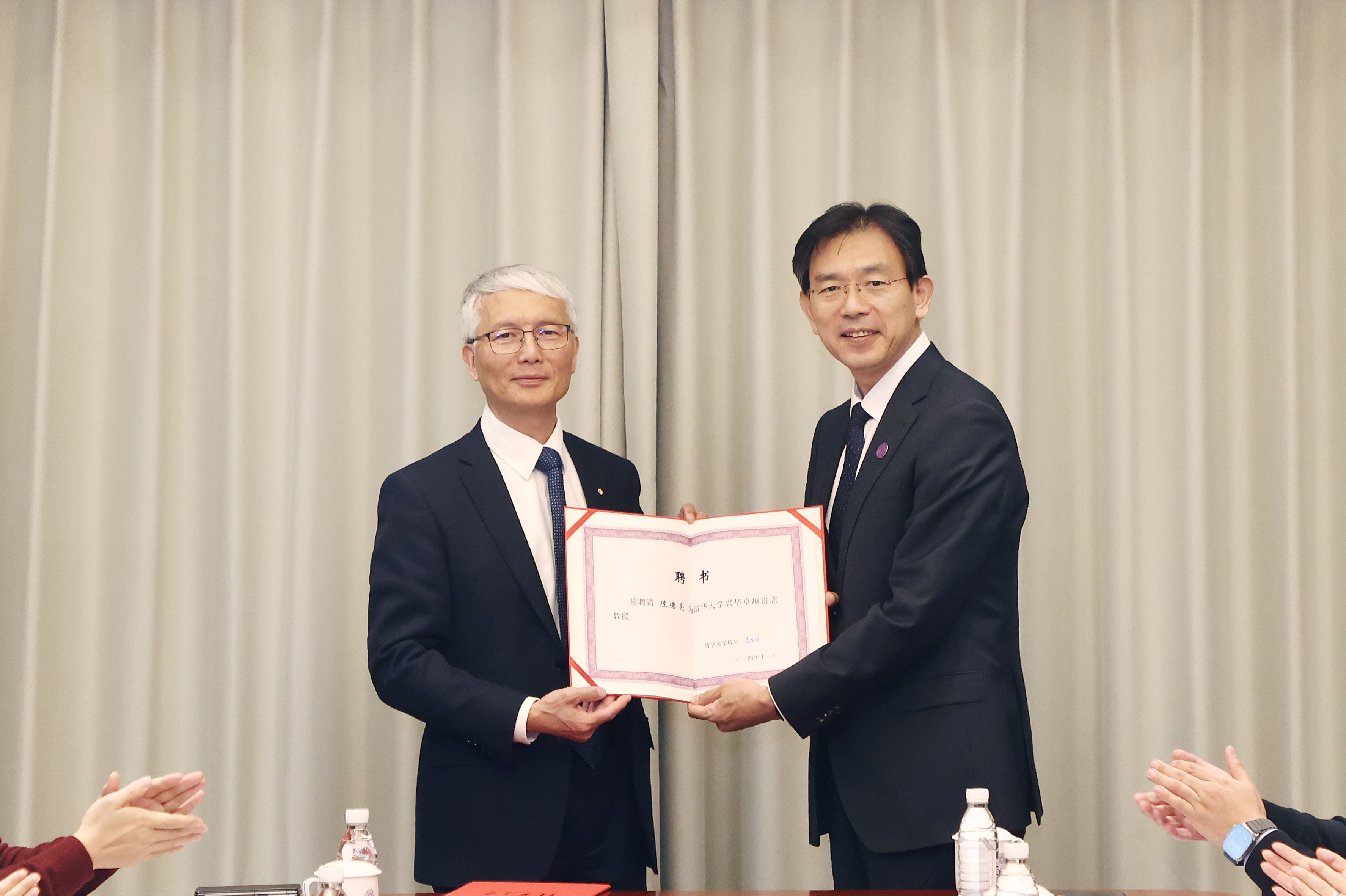
 图片新闻
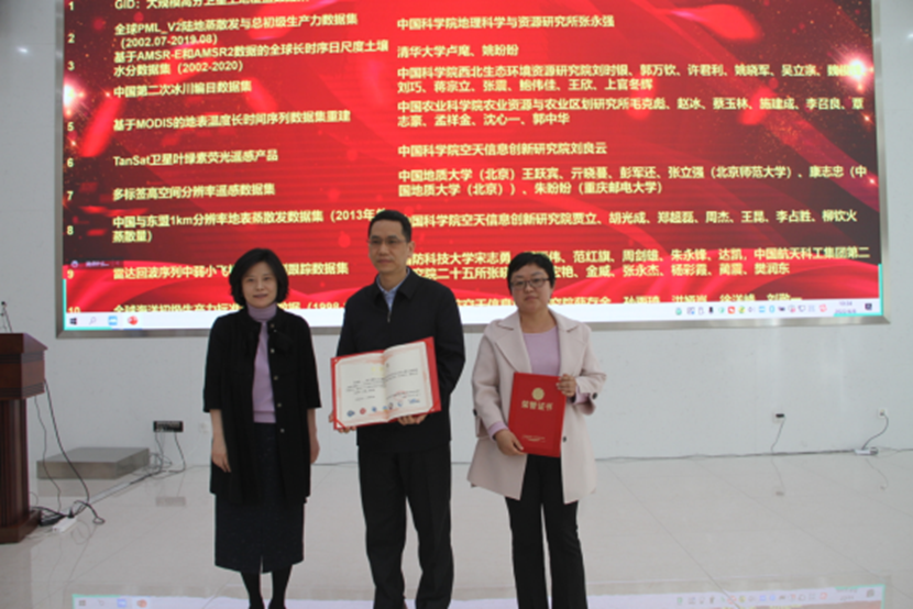
图片新闻
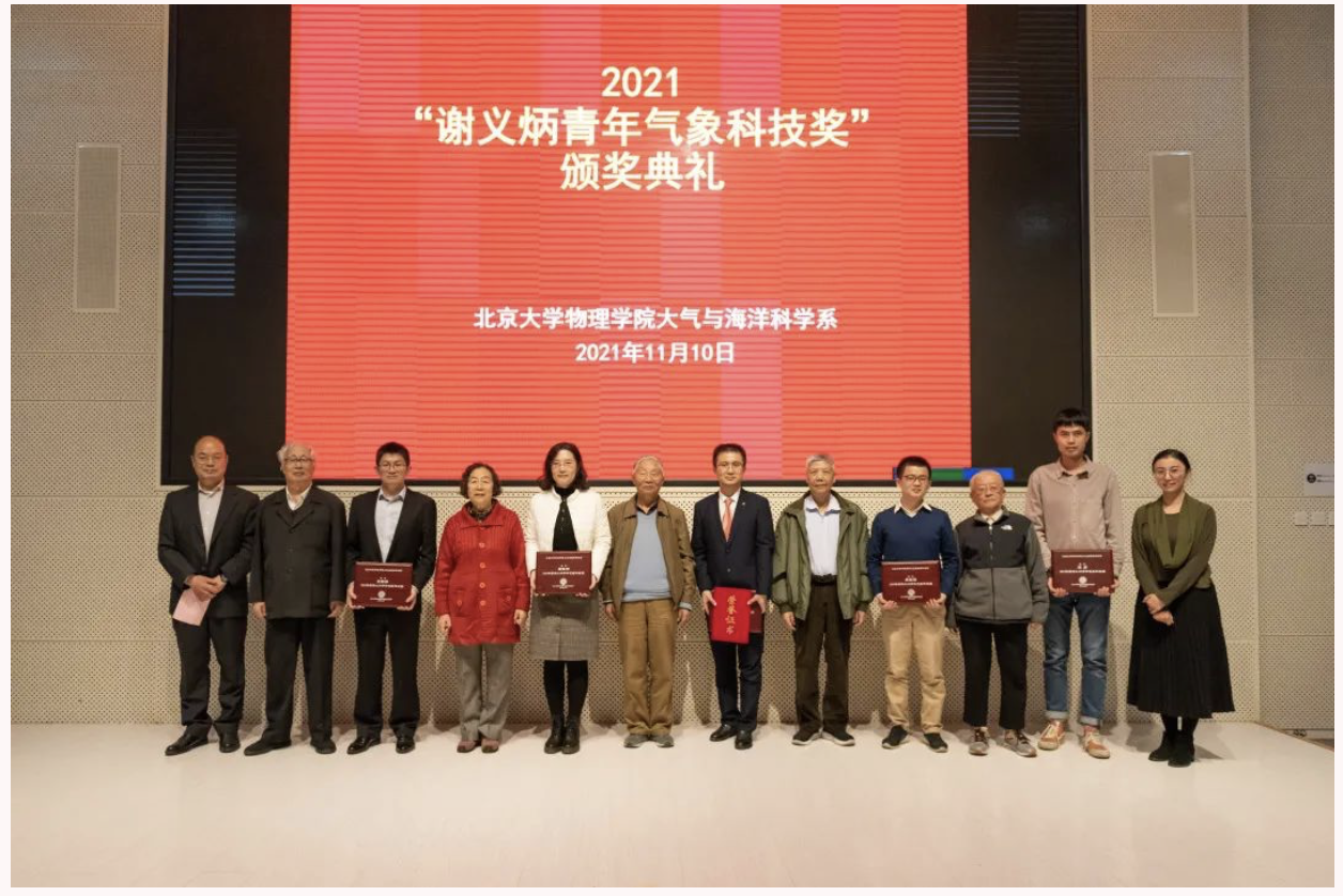
 新闻热点
新闻热点