讲座简介:
As global environmental change accelerates, dense cities face climate stress. Top-down Land Surface Temperature (LST) mapping cannot capture human thermal experience in 3D cities.
Prof. Weng will show how deep learning, multimodal fusion, and geospatial foundation models shift urban remote sensing from passive mapping to predictive spatial intelligence. He introduces Urban Visual-Spatial Intelligence (UVSI), linking mobile LiDAR, street-level vision, and eye-tracking with satellite LST in a bottom-up framework. By resolving 3D street-canyon heterogeneity, UVSI enables high-resolution Mean Radiant Temperature (MRT) estimation and Universal Thermal Climate Index (UTCI)-based maps of physiological heat strain. He examines nonlinear cognitive and emotional responses under high UTCI and how biophilic features, captured by the UVSI-derived Green View Index (GVI), may alter perceived thermal stress, comfort, and psychological well-being. This approach supports resilient, climate-safe, sustainable cities.
主讲人简介:
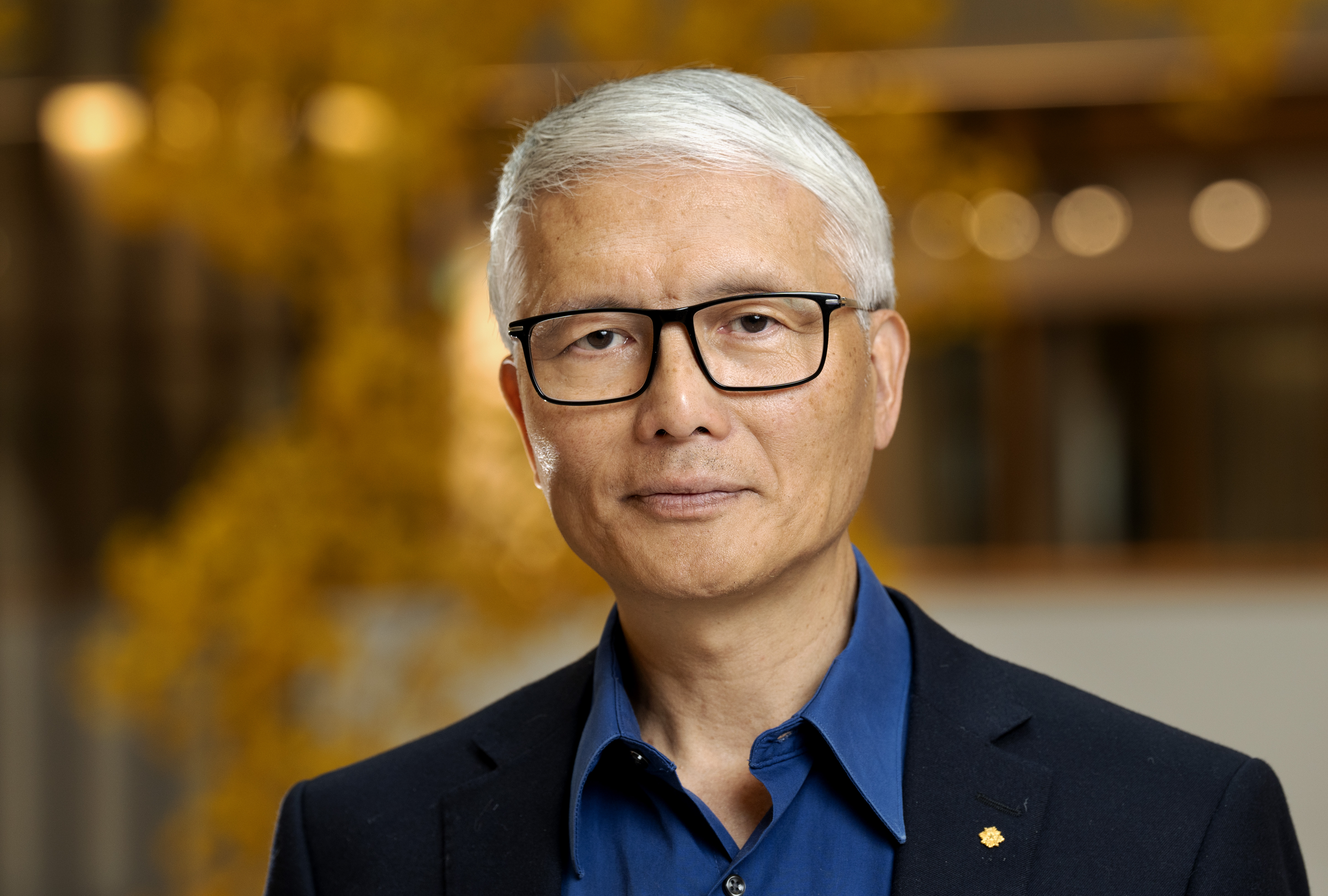
Prof. Weng is Chair Professor of Geomatics and Artificial Intelligence and a Global STEM Scholar at the Hong Kong Polytechnic University, directing the Jockey Club STEM Lab of Earth Observations and the Research Centre for Artificial Intelligence in Geomatics. He was Professor of Geography at Indiana State University (2001–2021) and Director of its Center for Urban and Environmental Change. He is Editor-in-Chief of the ISPRS Journal of Photogrammetry and Remote Sensing and leads GEO’s Global Urban Observation and Information Initiative. He is a Fellow of IEEE, AAAS, AAG, ISPRS, and ASPRS. His honors include the NASA Senior Fellowship and Taylor & Francis Lifetime Achievements Award. His research spans urban ecology, remote sensing, geospatial AI, climate, and sustainability. He has authored 340 articles, 16 books, and five conference proceedings, with over 43,500 Google Scholar citations and an H-index of 96.


 图片新闻
图片新闻
 新闻热点
新闻热点